


GRENANT-G1-26-0623

papou73
User
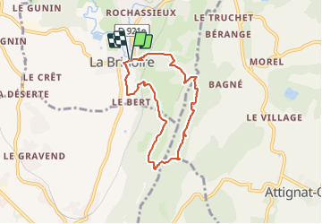

Length
6.6 km

Max alt
644 m

Uphill gradient
413 m
Km-Effort
12.1 km

Min alt
266 m

Downhill gradient
415 m
Boucle
Yes
Creation date :
2023-06-26 11:44:10.427
Updated on :
2023-06-28 16:35:45.932
2h45
Difficulty : Difficult

FREE GPS app for hiking
 SityTrail
IGN / Geographical institutes
SityTrail Plus
The world is yours!
About
Trail Walking of 6.6 km to be discovered at Auvergne-Rhône-Alpes, Savoy, La Bridoire. This trail is proposed by papou73.
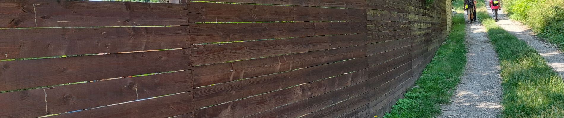
Photos


Positioning
Country:
France
Region :
Auvergne-Rhône-Alpes
Department/Province :
Savoy
Municipality :
La Bridoire
Location:
Unknown
Start:(Dec)
Start:(UTM)
714078 ; 5044967 (31T) N.
Comments